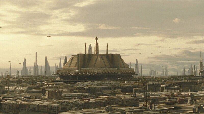

Coruscant cityscape in the central Core Worlds

Galactic Atlas / Regional navigator

Regions of the Galaxy

Every ring has a history. Explore the settlement patterns, cultures, institutions and travel networks behind the major names on the galaxy map.

10 regional dossiersEight requested regions plus Wild Space and Hutt Space
5 major routesLinked route dossiers and junctions
Galactic geographySource-linked maps, not invented coordinates

How the galaxy is organized

From the center toward the Rim

Coreward and rimward describe relative orientation, not quality of life or political authority. The principal settlement bands are arranged broadly around the galactic center, but the actual chart is irregular. Hutt Space, Wild Space and the Unknown Regions do not fit neatly into those rings.

Illustrative galactic region sequenceSeven simplified nested galactic bands from Deep Core at the center to Outer Rim at the edge. Links lead to full regional dossiers. Not an astronomical or political boundary map.outer rim mid rim expansion region inner rim colonies core worlds deep coreDeep Core Core Worlds Colonies Inner Rim Expansion Region Mid Rim Outer RimSelect a band or its label to explore.
Conceptual region order. The bands are not to scale and are not drawn from exact borders. The published galactic map remains the cartographic reference.

Region directory / 10 files

Choose a geographic area

Image: neighboring Coruscant, not a Deep Core world.
01 / corewardDeep Core

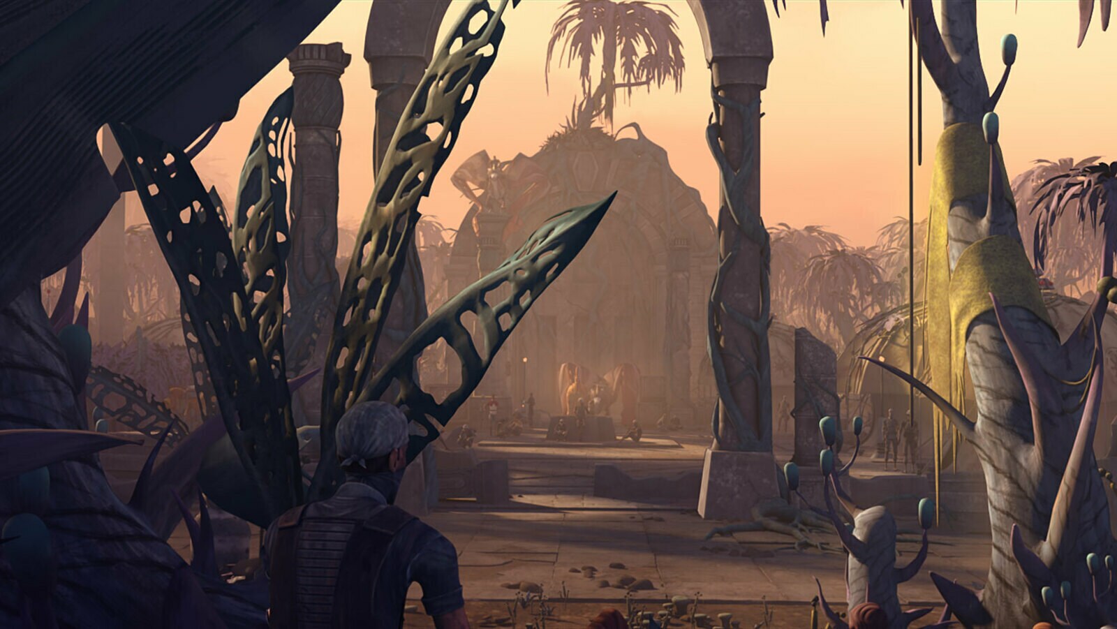
Inner stellar heart; difficult navigation; ancient Jedi history.

Tython and ancient Force sites

Image: neighboring Coruscant, not a Deep Core world.Explore this region →
Core Worlds location reference
02 / corewardCore Worlds

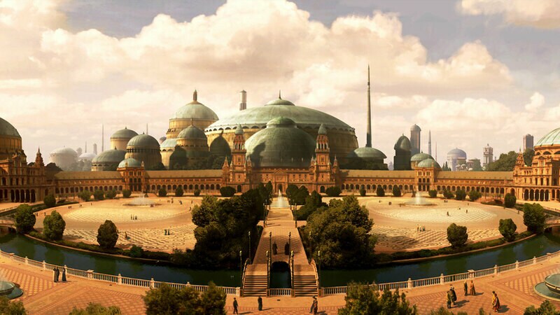
Coruscant, Corellia, Chandrila and Alderaan; politics and trade.

4 linked planetary dossiers

Explore this region →
The Colonies location reference
03 / corewardThe Colonies

An early settled ring, crossroads and influential commercial systems.

Cato Neimoidia and Brentaal

Explore this region →
Inner Rim location reference
04 / middleInner Rim

Established settlements with contrasting local political and economic histories.

Jakku and Onderon

Explore this region →
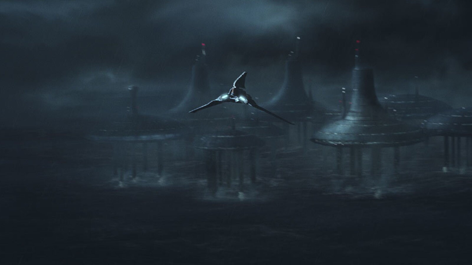
Umbara: official Clone Wars concept art from the Expansion Region.
05 / middleExpansion Region

Production, migration and transit between the Inner and Mid Rims.

Ring of Kafrene and Kinyen

Umbara: official Clone Wars concept art from the Expansion Region.Explore this region →
Mid Rim location reference
06 / middleMid Rim

Diverse worlds, pilgrimage routes and contested political authority.

Naboo, Kashyyyk, Jedha

Explore this region →
Outer Rim Territories location reference
07 / rimwardOuter Rim Territories

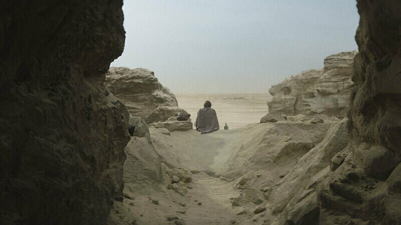
Extensive inhabited territories with local governments and shifting control.

Tatooine, Ferrix, Mandalore

Explore this region →
Unknown Regions location reference
08 / frontierUnknown Regions

Difficult-to-chart systems, secret routes and independent societies.

Ilum, Exegol, Ahch-To

Explore this region →
Wild Space location reference
09 / frontierWild Space

Worlds beyond established charts, including Kamino and Brendok.

Kamino and Brendok

Explore this region →
Outer Rim world under Hutt influence, outside formal Hutt Space.
10 / frontierHutt Space

A historical political sphere, not a simple concentric ring.

Hutt clans, Nal Hutta, Nar Shaddaa

Outer Rim world under Hutt influence, outside formal Hutt Space.Explore this region →

The routes between them

Geography is also movement

Hyperspace infrastructure

The Hydian Way, Perlemian Trade Route, Corellian Run, Corellian Trade Spine and Rimma Trade Route bind systems together across region boundaries. Follow individual routes and their documented junctions.

Open major trade routes →

Charting evidence

The 2023 Lucasfilm and DK star-system index supplies grid-square names and locations, while StarWars.com travel articles explain regional classification and selected route junctions. The ring diagram here is for orientation only.

View official map ↗