
In 5500 BBY, Sullustan navigators completed the Rimma Trade Route by linking older praediums running through Herglic Space and the southern galaxy. Givin hyperspatial theory and centuries of earlier Herglic route-building helped make the project possible. The new super-hyperroute accelerated trade and colonization across the southern quadrant.
A route built from older networks
The Rimma did not appear from empty space. Navigators connected preexisting routes and known hyperspace corridors.
Herglic and Givin knowledge provided a foundation that Sullustan scouts extended into a major commercial artery.
A route that changes settlement
Reliable travel lowered the cost and risk of migration into southern regions.
Colonists, merchants, corporations, and governments could now reach worlds that had been peripheral to the Republic economy.
The Tapani connection
Early work linked Sullust with the Tapani sector.
The route strengthened Tapani commerce and connected regional political systems to wider markets.
Anthropological assessment
The Rimma Trade Route shows that infrastructure is cumulative. Later navigators built on generations of local knowledge rather than creating interstellar geography from scratch.
Once standardized, the route changed migration and wealth by making some worlds easier to reach than others.
5500 BBY · Transport infrastructure · Legends
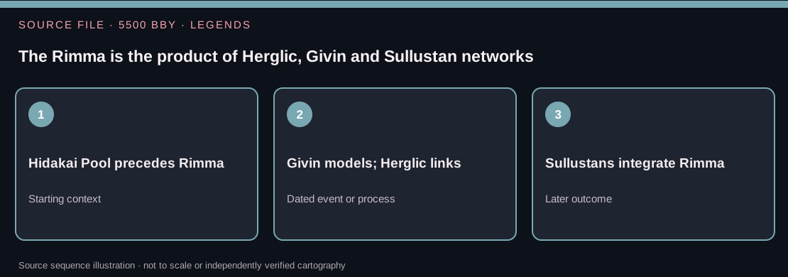
The Rimma is the product of Herglic, Givin and Sullustan networks
Published evidence
The Rimma Trade Route was consolidated in 5500 BBY through earlier Herglic and Givin hyperspace work and Sullustan exploration and commercial navigation. Established portions of a network were connected into a route passing through numerous economic regions of the galactic south, including the Tapani sector and Sullust.
Culture and power
The history resists a single 'discoverer' narrative. Mathematical models, established exchange corridors, exploration missions and local pilots made the route workable. Infrastructure can also change political relationships: regular navigation makes it easier to transport officials and goods, though increased commercial opportunity does not guarantee equal benefit to communities along its course.
Dating and continuity limits
The 5500 BBY date is an integration milestone, not the first flight through every constituent corridor. Modern route maps often show later spurs and junctions that were not documented in 5500 BBY. This diagram intentionally does not assert accurate physical positions for the hyperlane systems.
Historical judgment: Did Sullustan navigators create every part of the Rimma from previously unknown space?
Correction and explanation: No. They linked and extended systems of travel developed through earlier Herglic and Givin contributions.
Reference: Daniel Wallace and Jason Fry, The Essential Atlas (2009); Legends hyperroute history. Review reference history →. Specific printed page numbers and historical claims need independent source verification.
Sources and further reading
- Daniel Wallace and Jason Fry, The Essential Atlas, 2009.
- Rimma Trade Route/Legends, Wookieepedia