
In 4129 BBY, Republic explorers discovered and surveyed the Luire system near the boundary between the Mid Rim and Expansion Region. The system contained seven planets, including Nyriaan. Its initial survey established a formal place in Republic astrography sixty-two years before the Starveil crashed on Nyriaan during a later survey. Survivors established a settlement even though Republic rescuers mistakenly declared the crew dead.
Surveying converts space into administration
A system becomes easier to route, regulate, and revisit once its planets are mapped.
The Republic survey created a baseline for later scientific missions.
A system that remains difficult to understand
The Starveil disappeared during a later study in 4067 BBY.
Discovery therefore did not mean the system was fully known.
Anthropological assessment
The Luire survey illustrates the difference between locating a place and understanding it.
Maps reduce uncertainty enough to enable return travel, but they do not eliminate environmental or technological risk.
Legends / unknown-region archive
The first chart of a system, not the last word on it
Republic explorers documented the Luire system in 4129 BBY, recording a group of seven planets on a route near the Mid Rim and Expansion Region. Later maps also refer to it as the Nyriaan system after one of its worlds. Establishing a name and a set of coordinates was valuable for travel, trade and follow-up science, but those administrative facts were not evidence that every planet had been surveyed in detail. The initial entry marked the beginning of an accumulated body of navigational information, not a completed planetary history.
Sixty-two years later, the Starveil carried out a more extensive investigation and disappeared on Nyriaan. Its fate is an important reminder of the difference between a world being placed on a chart and crews being able to operate there safely. Records made by an earlier survey might have helped travelers approach the system while leaving dangerous conditions unexplored. An archive should therefore treat the 4129 BBY discovery and the later 4067 BBY mission as connected yet separate events, each with its own known evidence and unresolved questions.
Maps are selective descriptions
Surveyors decide which measurements and names become part of an official record. Those choices support routes and later research, but can obscure details that matter to people operating locally. A star system can be administratively known while many of its environmental and historical conditions remain uncertain.
Multiple names, one spatial referent
Luire and Nyriaan describe the same system in different source contexts. The existence of alternative labels is not proof of two distinct discoveries. This should be handled in archive links and captions so readers are not sent on separate imaginary timelines.
Did the Luire survey also determine the fate of the Starveil?
No. The system was first surveyed in 4129 BBY. The Starveil disappeared during a later operation in 4067 BBY, and its exact final circumstances remain incompletely documented.
Evidence sources: Star Wars: The Essential Atlas Online Companion; Galaxy of Intrigue. Luire/Nyriaan naming and source record →. Date uncertainty and later reconstructions are identified rather than concealed.
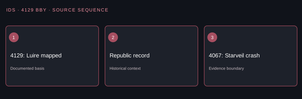
4129 BBY · Legends · assessed sources
Luire survey versus the later Starveil crash
Evidence
Republic explorers charted Luire in 4129 BBY. Sixty-two years later, in 4067 BBY, the Starveil crashed during a further Nyriaan survey; Republic rescuers wrongly assumed its crew had died.
Anthropological interpretation
Being entered in an astrographic catalog does not mean every planetary hazard has been identified. The survivors' later community belongs to the second event, not to the first charting.
What remains uncertain
Names of initial surveyors, exact coordinates and a first landing's circumstances remain unverified.
Historical judgment: Was Starveil part of the original 4129 BBY survey?
Explanation: No. It was a different expedition sixty-two years later.
Source: Galaxy of Intrigue; Luire/Nyriaan survey history. Consult source record →.
Sources and further reading
- Galaxy of Intrigue.
- Luire system, Wookieepedia