
LOCATION DOSSIER
What is known
The official Naboo Databank describes the planet’s river cities as places of classical architecture and greenery. Theed’s waterways and built river crossings fit that established urban setting.
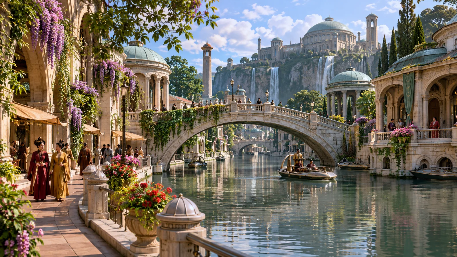
This original street-level interpretation centers on a stone pedestrian bridge, waterfront paths, domed buildings, and small boats beneath the upper Royal Palace. Boats, storefronts, bridge ornamentation, and individual streets are imaginative details.
The clickable links identify visible features in the artwork and lead to related dossiers. The diagram does not assign an official name, route, bridge length, or measured coordinate to any structure.
Evidence and visual limits
Names, events and institutions follow published Lucasfilm material. The artistic or historical scene is contextual rather than a surveyed plan, and any unpictured spaces are intentionally left without map pins.