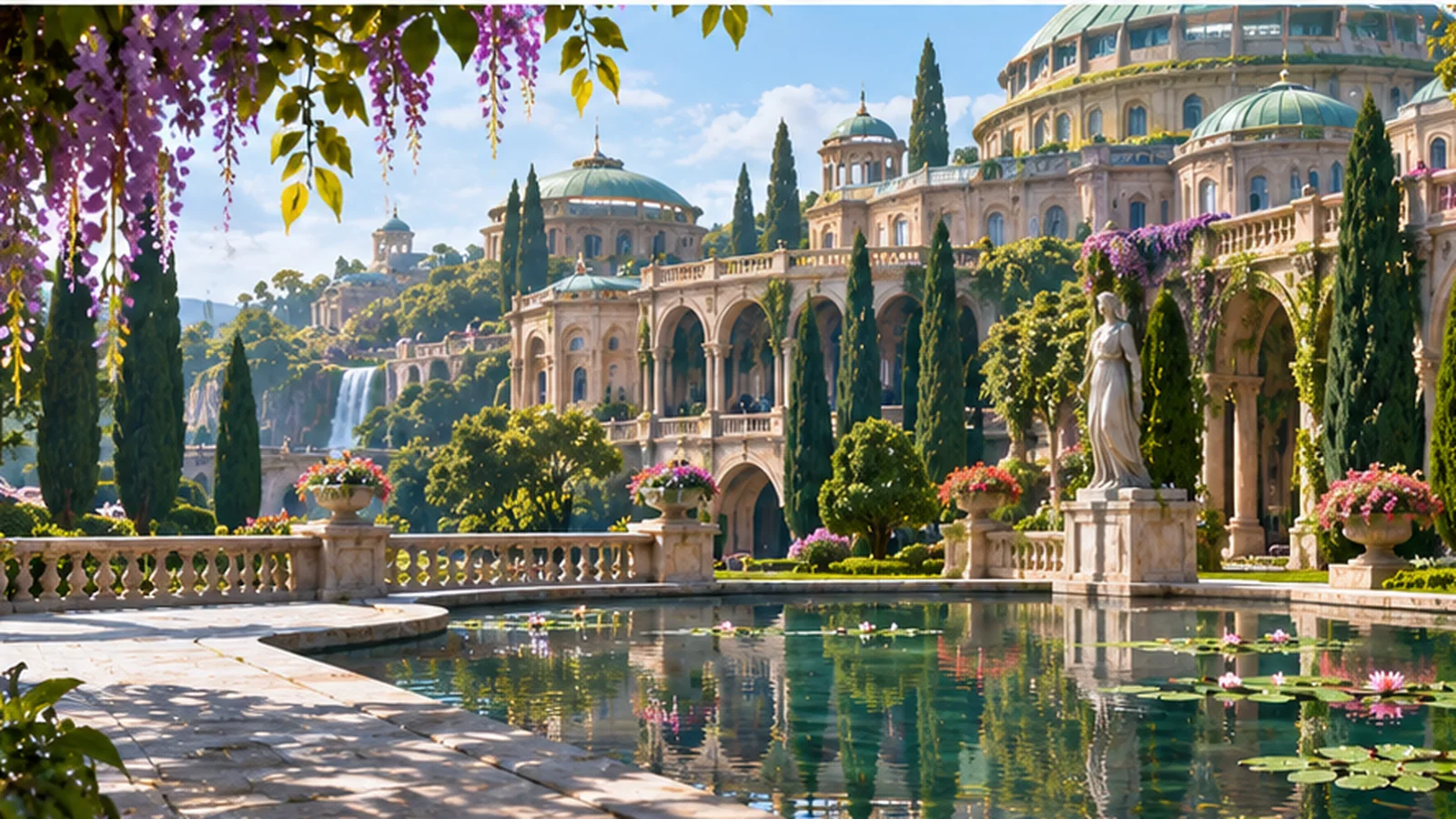
LOCATION DOSSIER
What is known
The public approaches to Theed Royal Palace hosted government business and royal ceremony before the blockade of 32 BBY. Lucasfilm identifies the palace as the seat of the elected monarchy and a destination for grand parades.
During the Trade Federation occupation, battle droids and armored vehicles controlled Theed. Queen Amidala returned and helped end the occupation by capturing Viceroy Nute Gunray inside her own palace.
Following liberation, a celebration in Theed marked cooperation between the Naboo and the Gungans. The three historical scene panels on this dossier are separate contextual illustrations, not matched photographs of a single surveyed street corner or proof of a particular procession route.
Evidence and visual limits
Names, events and institutions follow published Lucasfilm material. The artistic or historical scene is contextual rather than a surveyed plan, and any unpictured spaces are intentionally left without map pins.
Read the official Star Wars reference ↗
Three periods at Theed Palace Plaza
Select a period to view separate contextual artwork. These are not camera-matched views of one exact plaza location.
Theed before the blockade Republic civic setting
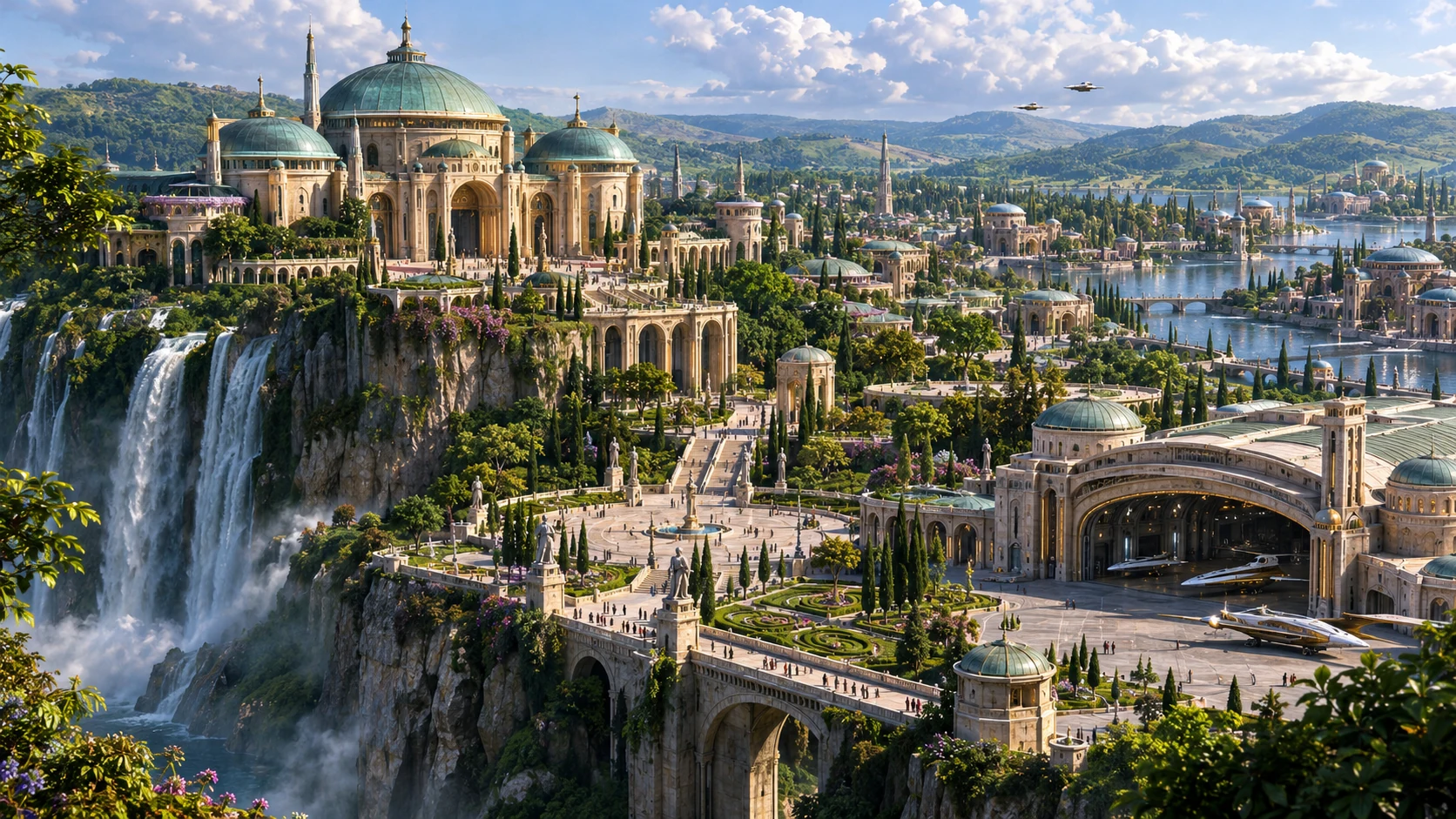
Trade Federation occupation 32 BBY occupation
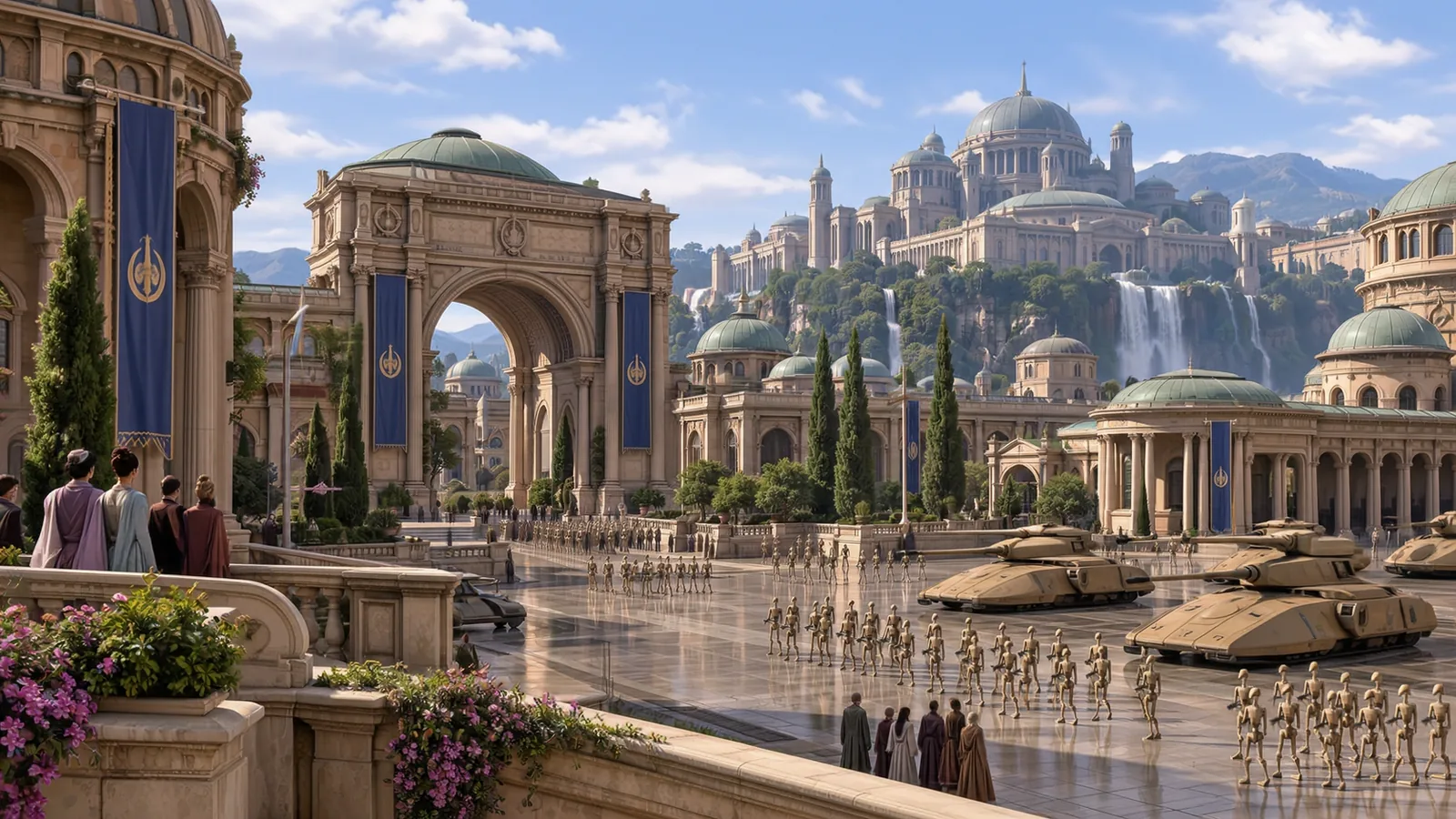
After Naboo was liberated 32 BBY restoration