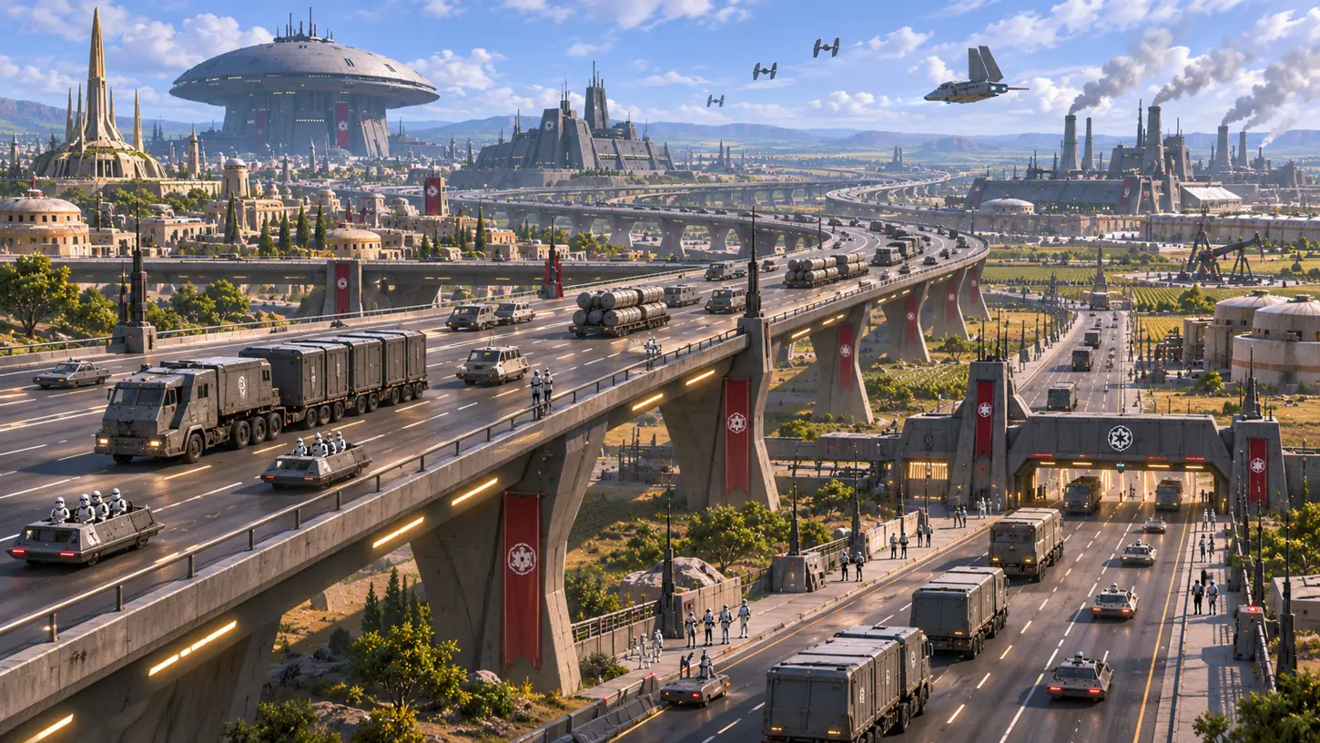
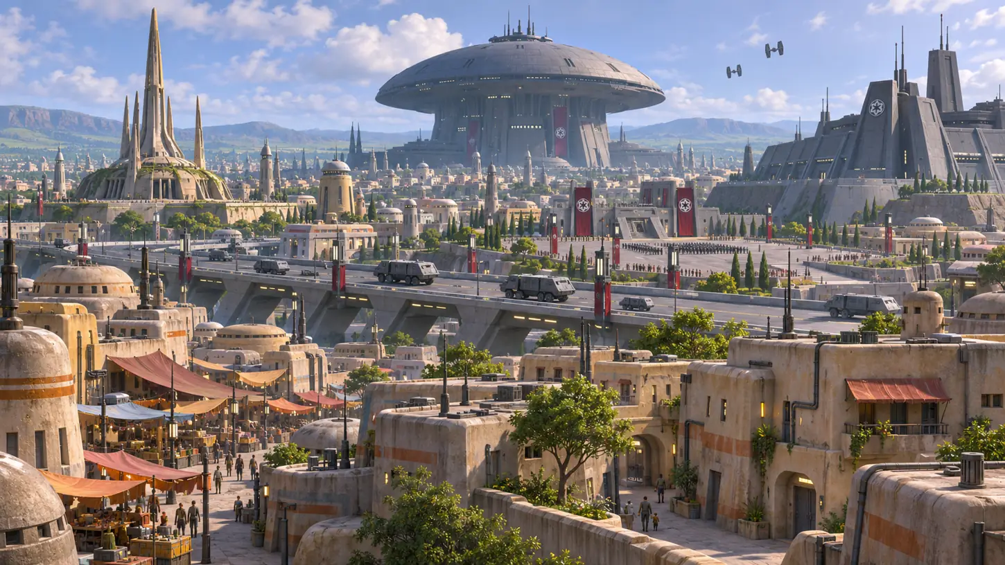
Original cinematic reconstruction inspired by documented places and events. Click a visible feature to investigate it. Layout and architectural details that are not confirmed by Canon remain interpretive.
Documented setting
The Lothal history gallery identifies new Imperial highways connecting Capital City to towns, mines and factories. Military convoys increasingly used these roads, changing movement across the planet.
Complementary scenes
Explore related environments
These original reconstructions give historical and social context without reproducing the hero or claiming the pictured locations share exact coordinates.
The capital’s military command depended on routes beyond the headquarters. Original interpretive illustration, not a surveyed map.
City investigation / four evidence stations
Investigate Imperial highways
Each station examines a different aspect of this documented destination.
Selected investigation
Routes out of the city
Highways connected the capital to towns and industrial sites. Since no authoritative coordinate map is supplied, this page uses a relationship-based route explorer, not a road atlas with made-up distances.
Imperial expansion did not only add individual bases. It changed routes connecting the capital to industrial facilities and outlying towns. Highways could carry equipment, troops, and goods, but ordinary residents also depended on transit routes. This mixture of civilian and military use made transport a site of control and observation.
Convoys and restrictions
The Databank specifically mentions Imperial convoys and military vehicles on modern highways. Security checkpoints, patrols and restrictions are consistent with the occupation's broader control, but the exact location and schedule of any particular checkpoint cannot be inferred from a panoramic illustration. The interface avoids fabricated route lengths, intersections and travel times.
The city's wider network
Garel was connected to Lothal by regular shuttle traffic, while the capital connected internally with rural settlements and the industrial economy. These are different scales of mobility. A Star Wars city explorer should distinguish roads, hyperspace traffic, military supply lines and local travel rather than placing them all on a single arbitrary line.
Verified place names and incidents are identified in official Star Wars sources. Landscape imagery is artistic interpretation, not an overhead survey or proof of where an unseen landmark stands. Scene changes show broad historical context; unknown later conditions are not filled in as fact.